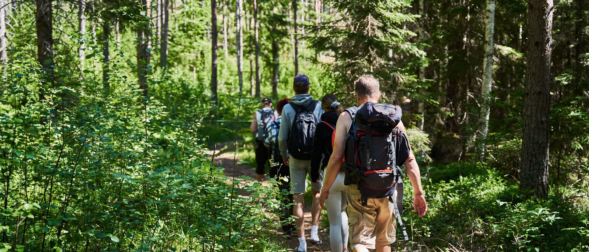
Hiking trails
Lääväkorpi - Syväjärvi Trail
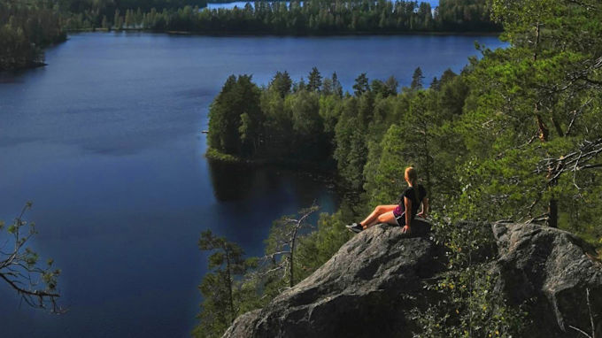
This popular 18 km hiking trail starts/ends at the sports field. The grandest part of the trail runs on top of a hill near lake Syväjärvi, after which you will soon arrive at Myllykoski shelter & campfire site.
Mustakulkkula Trail
The Mustakulkkula trail starts at the southern end of Syväjärvi, where the above trail turns back. On the shore of lake Kaituri you'll find a shelter and a fireplace.
Ruokolahti - Rautjärvi -Trail
The 70 km long trail between Ruokolahti and Rautjärvi is part of the National E10-trail system. It runs via Haukkavuori [Hawk Hill] to Rautjärvi minucipality and further on up to Parikkala municipality.